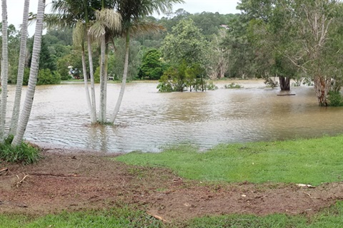
Byron Shire Council is updating a chapter of its Development Control Plan (DCP) relating specifically to areas affected by flood.
The DCP sets out the guidelines for the design and assessment of developments and the proposed changes to chapter ‘C2’ relate primarily to development applications on flood prone land in the Byron Shire.
Alex Caras, Council’s Land Use Planning Coordinator, said the proposed changes are necessary to align with policy and legislative changes made by the NSW Government.
“Since 2021 the NSW Government has made a number of changes for assessing flood risk and flood-related constraints in land-use planning and our documents and processes must align with these changes,” Mr Caras said.
The changes include:
- Ensuring terminology reflects current policy and legislation.
- Placing greater emphasis on the safe occupation and efficient evacuation of people in a flood event.
- Replacing outdated food study references.
- Implementing, where possible, relevant actions identified in the North Byron Floodplain Risk Management Study.
The closing date for submissions is 14 July 2024.
A drop-in session where people can talk to staff and ask questions is being held on Tuesday 25 June from 4:30 to 6pm at the Council Chambers in Mullumbimby.


